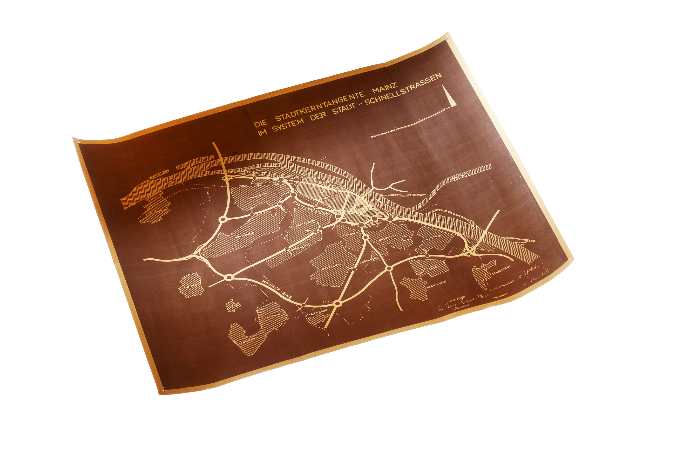
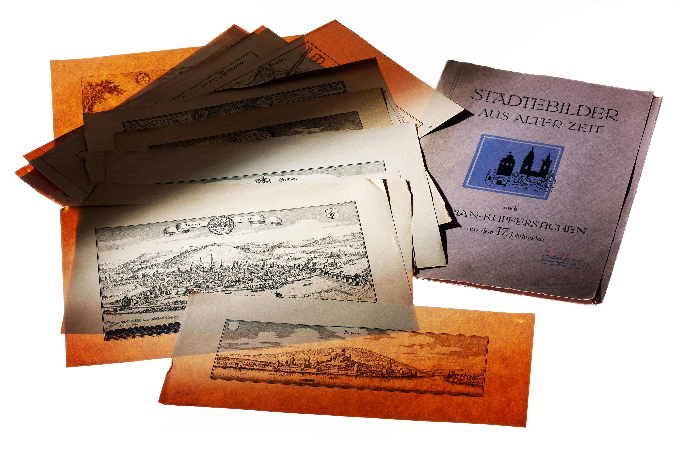
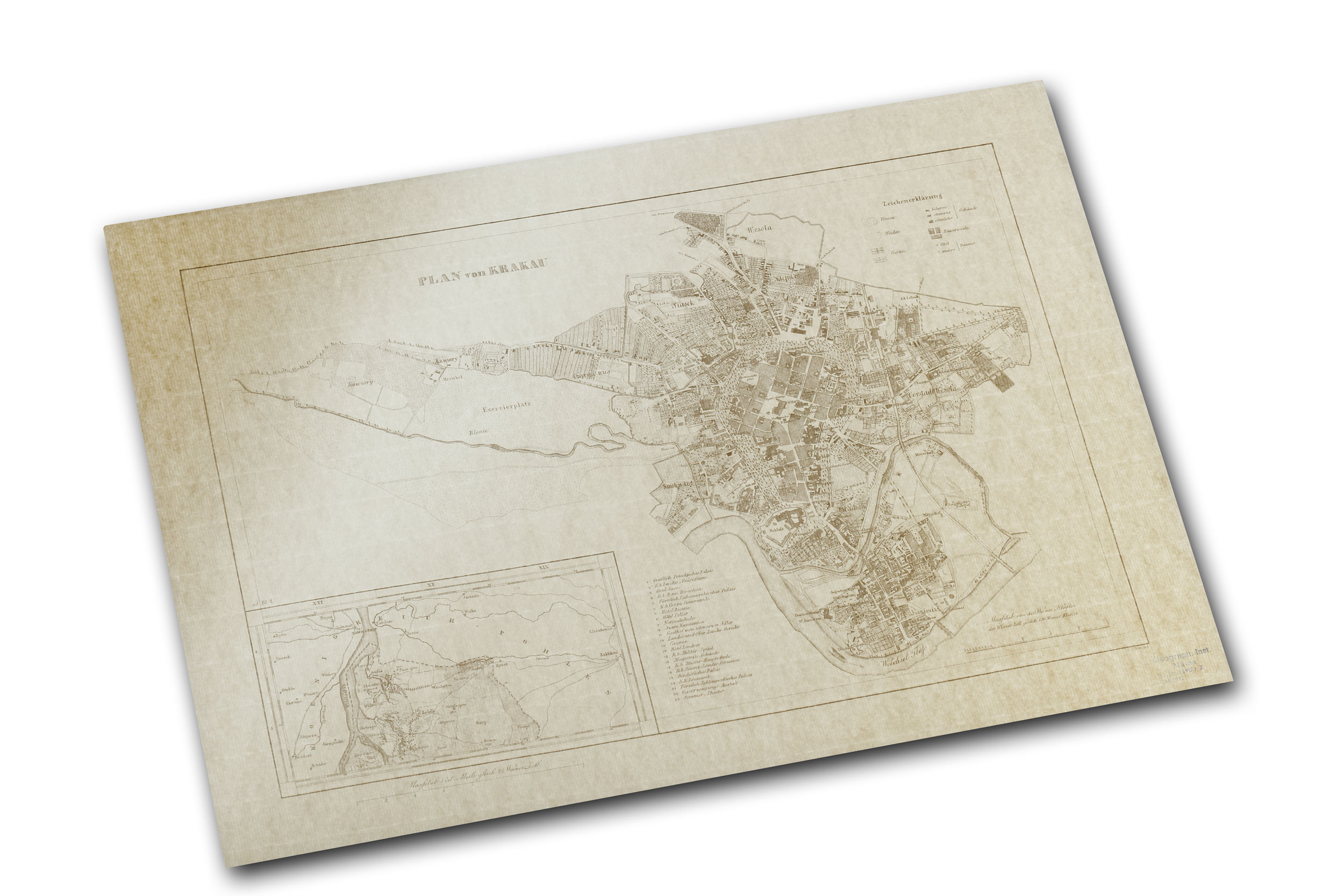
The variety of the Geographical Institute's Map Collection ranges from 17th-century copper engravings and wall maps of the individual continents to the latest aerial photographs and topographic maps on various scales.
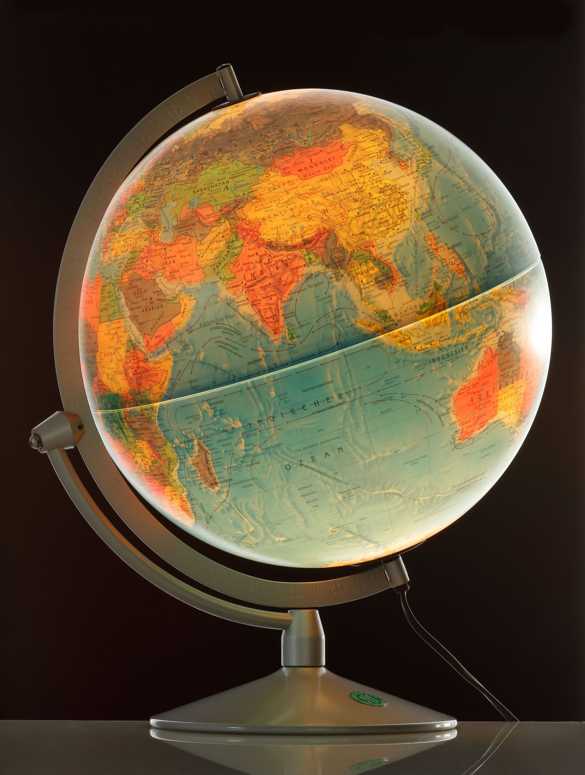
The collection of maps includes thematic, geological, orographic and hydrographic maps. This is supplemented by detailed hiking maps and world maps in several languages. The Map Collection thus offers a wide range of maps and numerous options for different needs.
The collection is constantly updated and expanded, particularly in the area of topographic maps for teaching purposes. But there are also numerous types of maps available for field trips, theses and excursions.